Choropleth maps as a URL. Now with AI.
Create production-ready maps with a clean URL and API, or describe what you want and let AI build and refine it for you. Fast, cached, and embeddable anywhere.
No credit card required · Maps render in under a second · Used by journalists, researchers and developers.
TWO WAYS IN
For developers
Build maps with a single URL or POST GeoJSON values. Stable, cached SVG and PNG embed anywhere an image tag works — no JavaScript, no SDK, no tile servers.
Perfect for production sites, dashboards, automated reports.
For journalists & storytellers
Describe your story in plain English. AI generates the map with a live preview, then refines conversationally — "make Ukraine blue", "add airports", "highlight shipping lanes". Permanent URL and embed code when you're done.
Why teams pick maproll
Fast and cached
Cold renders under 300 ms. Cache hits under 50 ms. Aggressive immutable caching at the edge via Cloudflare with proper ETags.
Clean by default
Six modern themes, three color scales, four classification strategies. Topology-preserving simplification so borders never develop gaps.
Production-grade geometry
Hardened shapefiles, ISO 3166 IDs on every feature, three precomputed detail levels so thumbnails and full-page renders both look right.
Shipping lanes and routes
Great-circle paths for flows; opt-in sea-route mode threads Suez, Panama and Malacca via the Eurostat marnet. Style with color, dashed lines, arrows.
Military and operational icons
30 built-in icons covering airports, tanks, factories, hospitals, ports — plus opt-in NATO APP-6 / MIL-STD-2525 symbology via SIDC.
Clean embeds
Works perfectly in READMEs, Notion docs, newsletters, dashboards and web apps. One URL, one image tag.
A single URL is the whole API
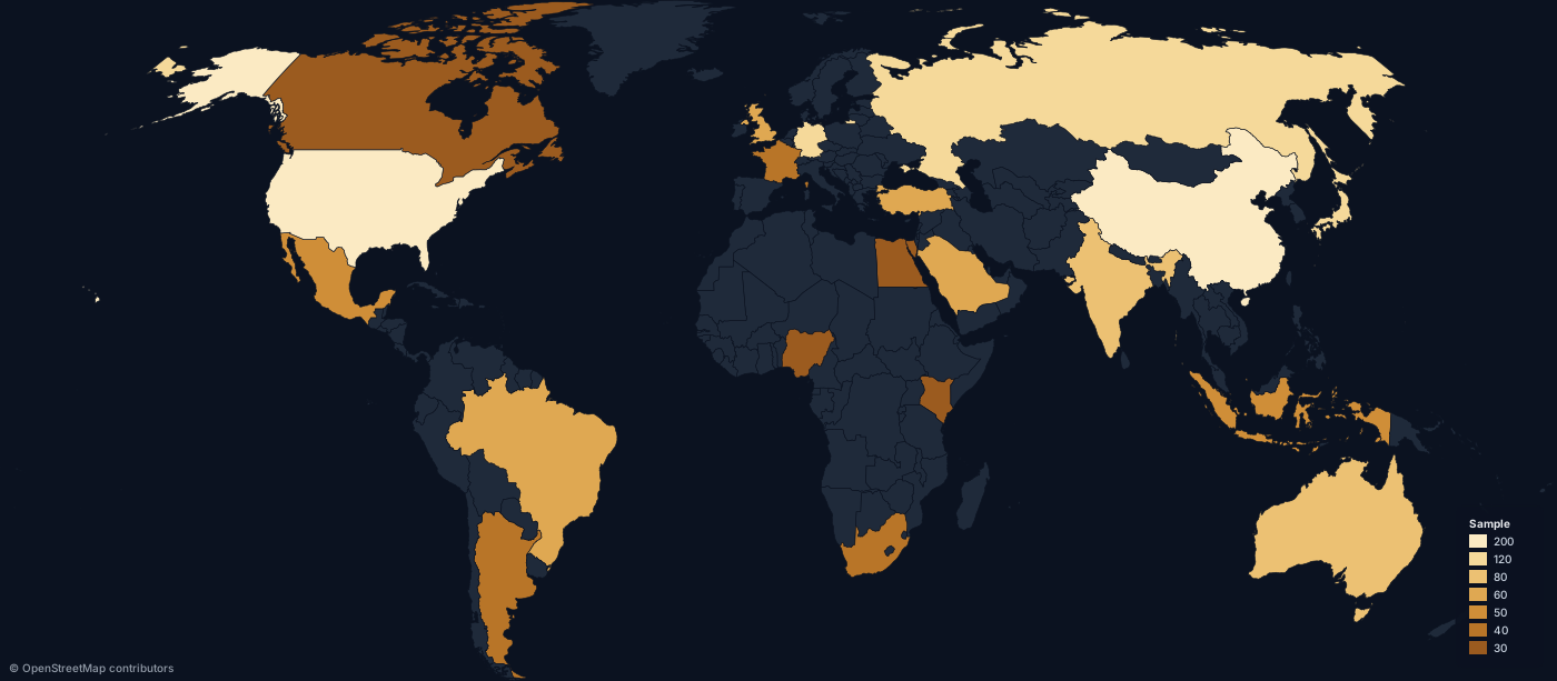
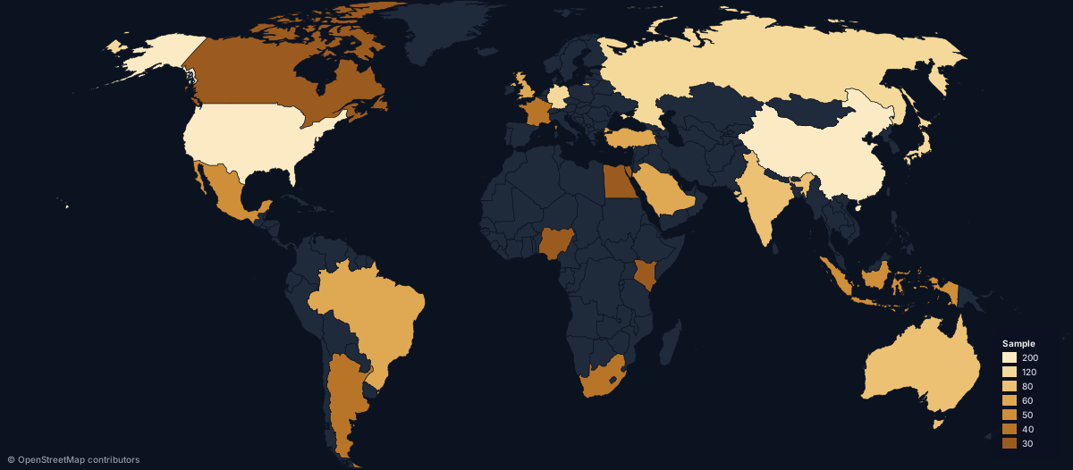
Every map is a URL. This image was rendered live by maproll — copy the URL into any image tag and you have a map.
GET /map.svg?scope=world&data=US:200,CN:150,DE:95&theme=dark
Built for real work
Journalists & newsrooms
Break news faster. Turn a story brief into a publishable visual in minutes.
Researchers & think tanks
Geopolitical, economic and logistics maps with the cartographic polish a report needs.
Developers & product teams
Reliable map endpoints you can use in production today, no GIS stack required.
Content creators
Beautiful maps for newsletters, reports and social media — no Excel choropleth colors.
More than choropleths
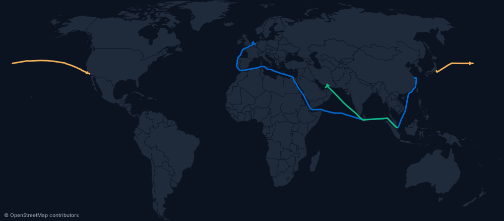
Sea-aware routes and great-circle flows for trade, logistics and travel data — Suez, Panama and Malacca handled automatically.
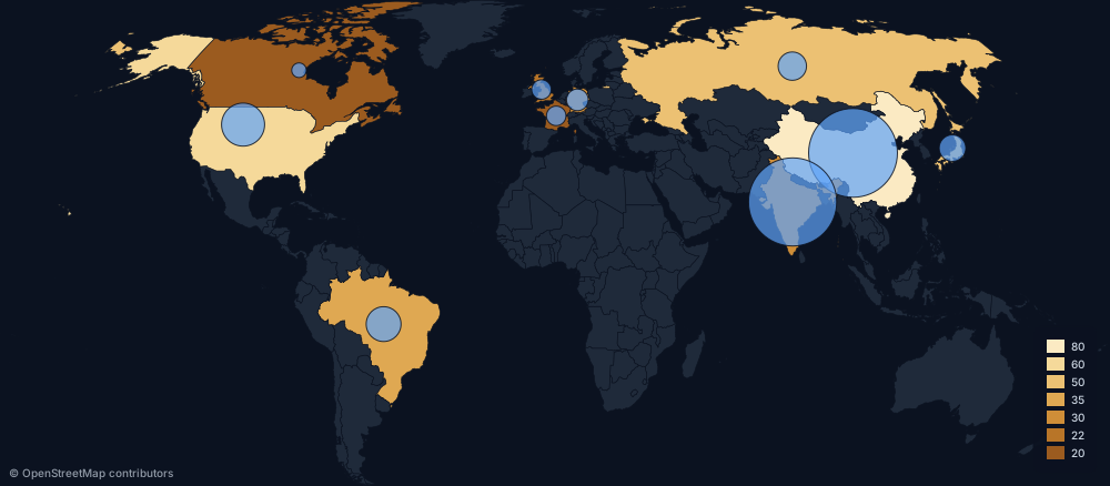
Proportional symbols for dual-encoding two variables on one map.
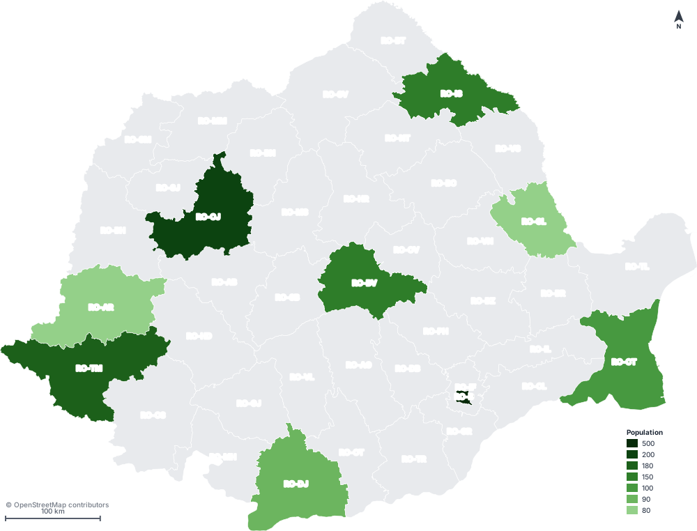
North arrow, scale bar, graticule, region labels — full cartographic polish.